


How can single-light mapping quadrotor drones ensure the continuity of their mapping work when encountering strong winds?
Release Time : 2025-10-23
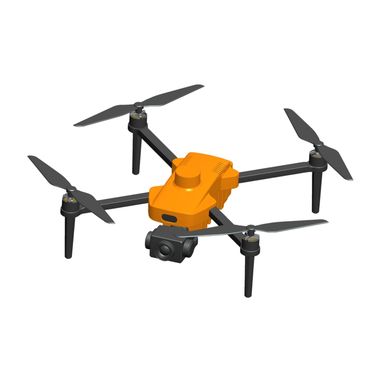
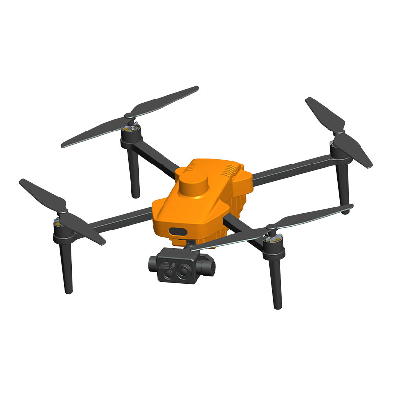
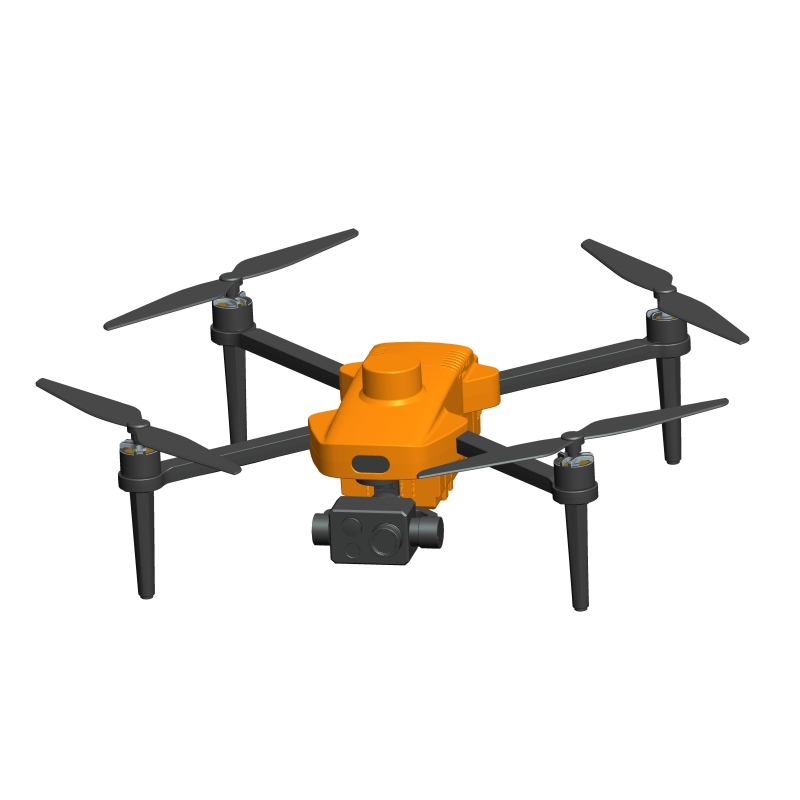
With the widespread application of drone aerial surveying technology, single-light mapping quadrotor drones, due to their high precision, high efficiency, and flexible deployment capabilities, are playing a vital role in urban planning, topographic surveys, emergency rescue, and other fields. However, meteorological conditions, especially strong winds, often become a critical factor affecting drone flight stability and mapping data quality. When a quadrotor drone encounters strong winds while performing single-light mapping missions, how to effectively cope with and ensure the continuity of mapping work has become a core issue of concern in the industry.
1. Improving the Wind Resistance of the Flight Control System
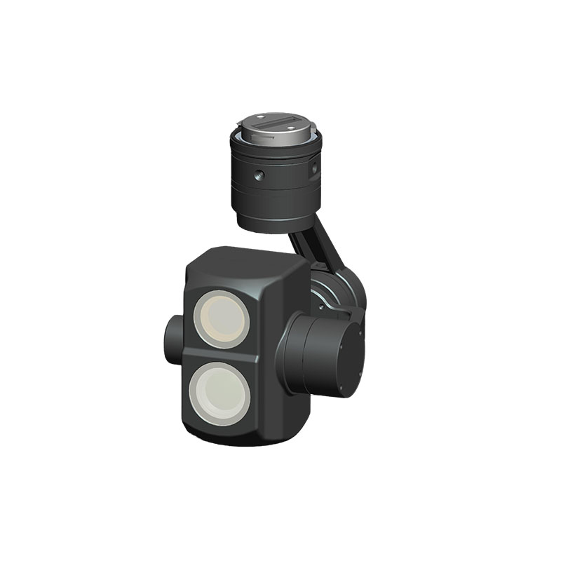
The flight control system of a quadrotor drone is crucial for responding to external disturbances. In strong winds, advanced flight control algorithms can sense wind speed and direction changes in real time and rapidly adjust motor speed and attitude angle to maintain a stable hover and flight path. Modern high-end mapping drones generally utilize multi-sensor fusion technology, combining high-precision IMUs, GPS/RTK positioning modules, and auxiliary sensors such as barometers and ultrasonic sensors to achieve centimeter-level positioning accuracy and millisecond-level response speeds. Furthermore, the introduction of adaptive PID control or AI-based predictive control algorithms allows the drone to automatically adjust its flight attitude under gusts, reducing jitter and drift, ensuring the camera gimbal is stably aligned with the target light source, and thus ensuring clear and consistent image capture. Some models also feature a "wind resistance mode," which automatically lowers the flight altitude or switches to a low-speed cruise mode when wind speeds exceed the specified limit, enhancing control stability.
2. Optimizing the Airframe Structure and Power System Design
Hardware enhancements are fundamental to withstanding strong winds. For strong winds, quadcopters should possess a higher thrust-to-weight ratio and a more robust airframe structure. Using high-strength carbon fiber materials for the arms and fuselage not only reduces weight but also increases overall rigidity, minimizing structural deformation caused by wind. Furthermore, high-power brushless motors and high-efficiency propellers provide sufficient lift and thrust in strong winds, ensuring the aircraft has sufficient redundant power to cope with sudden turbulence. Furthermore, optimizing aerodynamic design is crucial. For example, adopting a compact layout, reducing the frontal area, and adding fairings can effectively reduce wind resistance and turbulence, thereby improving flight stability. Some professional mapping drones are also equipped with active obstacle avoidance radar and wind speed monitoring modules, enabling real-time assessment of environmental risks during flight and proactive avoidance of hazardous areas.
3. Scientifically Plan Mission Processes and Flight Strategies
Prevention is better than cure. Before conducting single-light mapping missions, it is important to fully understand weather forecasts and avoid extreme weather conditions such as typhoons and thunderstorms. If operations must be conducted during periods of high wind speeds, the following strategies are recommended: First, choose to fly in the early morning or evening when wind speeds are relatively stable. Second, shorten single flight times and employ a "segmented" mapping approach, breaking large-scale missions into multiple smaller areas to be completed one at a time, thereby reducing the risk of a single flight. Flight altitude must also be appropriately controlled. Although wind speeds are generally higher at high altitudes, aircraft close to the ground are susceptible to turbulence caused by buildings and terrain. Therefore, the optimal flight altitude should be selected based on the on-site conditions. A range of 15–30 meters is generally recommended. Maintain a stable vertical distance from the target light source to avoid signal capture failure due to wind drift. Additionally, dual-mode navigation using RTK differential positioning and visual positioning should be enabled to improve positioning accuracy in complex airflow.
4. Establish an emergency response and data backup mechanism
Even with thorough preparation, strong winds can suddenly intensify. A comprehensive emergency response mechanism is crucial in these situations. The drone should have a preset safe return point and the "Smart Return to Home" function enabled. Once wind speeds exceed the set threshold, the system automatically triggers the return-to-home procedure, returning to the takeoff point along the shortest possible route to avoid an uncontrolled crash. Maintaining the integrity of surveying and mapping data is also crucial. It is recommended to enable real-time image transmission and cloud synchronization to ensure that every single-light image captured is instantly uploaded and backed up. Even if a flight is interrupted, the collected data will not be lost. Once the wind subsides, operations can be resumed from the interrupted location, ensuring seamless continuation of the surveying and mapping mission.
Strong winds are a challenge that cannot be ignored in drone mapping. However, through multi-dimensional coordination of flight control optimization, hardware upgrades, scientific scheduling and emergency support, single-light mapping quadrotor drones can fully maintain operational continuity under complex weather conditions.
1. Improving the Wind Resistance of the Flight Control System
The flight control system of a quadrotor drone is crucial for responding to external disturbances. In strong winds, advanced flight control algorithms can sense wind speed and direction changes in real time and rapidly adjust motor speed and attitude angle to maintain a stable hover and flight path. Modern high-end mapping drones generally utilize multi-sensor fusion technology, combining high-precision IMUs, GPS/RTK positioning modules, and auxiliary sensors such as barometers and ultrasonic sensors to achieve centimeter-level positioning accuracy and millisecond-level response speeds. Furthermore, the introduction of adaptive PID control or AI-based predictive control algorithms allows the drone to automatically adjust its flight attitude under gusts, reducing jitter and drift, ensuring the camera gimbal is stably aligned with the target light source, and thus ensuring clear and consistent image capture. Some models also feature a "wind resistance mode," which automatically lowers the flight altitude or switches to a low-speed cruise mode when wind speeds exceed the specified limit, enhancing control stability.
2. Optimizing the Airframe Structure and Power System Design
Hardware enhancements are fundamental to withstanding strong winds. For strong winds, quadcopters should possess a higher thrust-to-weight ratio and a more robust airframe structure. Using high-strength carbon fiber materials for the arms and fuselage not only reduces weight but also increases overall rigidity, minimizing structural deformation caused by wind. Furthermore, high-power brushless motors and high-efficiency propellers provide sufficient lift and thrust in strong winds, ensuring the aircraft has sufficient redundant power to cope with sudden turbulence. Furthermore, optimizing aerodynamic design is crucial. For example, adopting a compact layout, reducing the frontal area, and adding fairings can effectively reduce wind resistance and turbulence, thereby improving flight stability. Some professional mapping drones are also equipped with active obstacle avoidance radar and wind speed monitoring modules, enabling real-time assessment of environmental risks during flight and proactive avoidance of hazardous areas.
3. Scientifically Plan Mission Processes and Flight Strategies
Prevention is better than cure. Before conducting single-light mapping missions, it is important to fully understand weather forecasts and avoid extreme weather conditions such as typhoons and thunderstorms. If operations must be conducted during periods of high wind speeds, the following strategies are recommended: First, choose to fly in the early morning or evening when wind speeds are relatively stable. Second, shorten single flight times and employ a "segmented" mapping approach, breaking large-scale missions into multiple smaller areas to be completed one at a time, thereby reducing the risk of a single flight. Flight altitude must also be appropriately controlled. Although wind speeds are generally higher at high altitudes, aircraft close to the ground are susceptible to turbulence caused by buildings and terrain. Therefore, the optimal flight altitude should be selected based on the on-site conditions. A range of 15–30 meters is generally recommended. Maintain a stable vertical distance from the target light source to avoid signal capture failure due to wind drift. Additionally, dual-mode navigation using RTK differential positioning and visual positioning should be enabled to improve positioning accuracy in complex airflow.
4. Establish an emergency response and data backup mechanism
Even with thorough preparation, strong winds can suddenly intensify. A comprehensive emergency response mechanism is crucial in these situations. The drone should have a preset safe return point and the "Smart Return to Home" function enabled. Once wind speeds exceed the set threshold, the system automatically triggers the return-to-home procedure, returning to the takeoff point along the shortest possible route to avoid an uncontrolled crash. Maintaining the integrity of surveying and mapping data is also crucial. It is recommended to enable real-time image transmission and cloud synchronization to ensure that every single-light image captured is instantly uploaded and backed up. Even if a flight is interrupted, the collected data will not be lost. Once the wind subsides, operations can be resumed from the interrupted location, ensuring seamless continuation of the surveying and mapping mission.
Strong winds are a challenge that cannot be ignored in drone mapping. However, through multi-dimensional coordination of flight control optimization, hardware upgrades, scientific scheduling and emergency support, single-light mapping quadrotor drones can fully maintain operational continuity under complex weather conditions.