
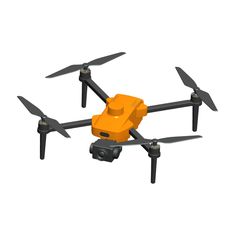
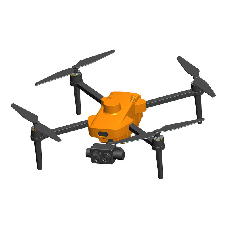
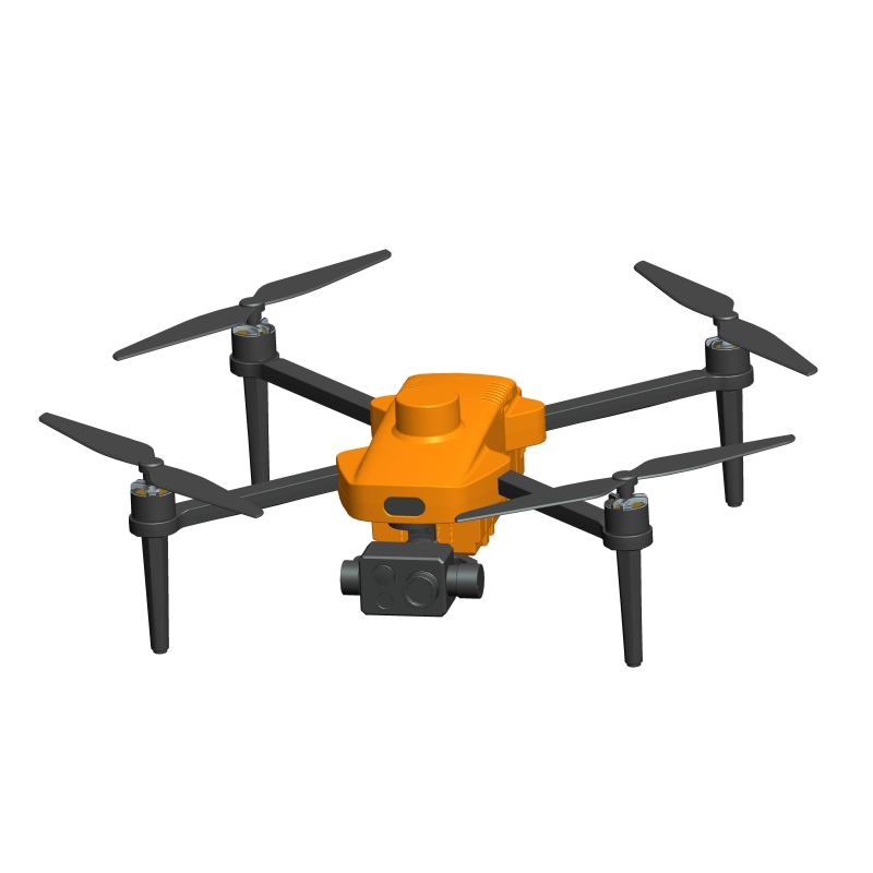


How to process and analyze the surveying data of single-light mapping quadrotor drone?
Release Time : 2025-06-10
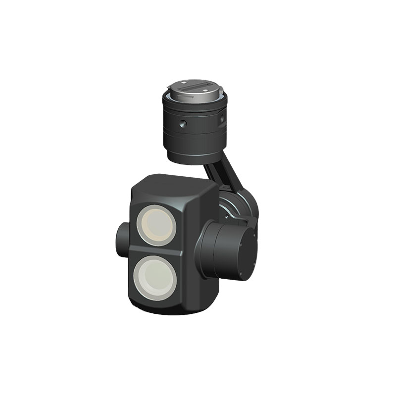
The data collected by single-light mapping quadrotor drone is rich but complicated. It requires professional processing procedures and tools to be transformed into practical results. In the process of drone mapping, there are many defects in the original data such as images and point clouds collected by single-light assistance. The image may be blurred and chromatic aberration due to the light angle and shooting jitter, and the point cloud data may also produce noise due to environmental interference. The direct use of these original data will lead to deviation in the results, so the first step is to preprocess them. Use professional software to deblur and color correct the image, remove abnormal points and noise in the point cloud data, make the original data cleaner and more accurate, and lay the foundation for subsequent analysis.
After completing the preprocessing, data registration is crucial. Since the drone will continue to move during the flight, the data collected at different times will have differences in spatial position, and these data must be unified into the same coordinate system. For image data, feature point matching technology is used to find corresponding points between different images and establish spatial relationships between images; for point cloud data, coordinate transformation algorithms are used to integrate scattered point clouds together to ensure that all data accurately correspond in spatial position and to build a complete and accurate model framework for the surveying and mapping object.
After data registration, 3D modeling is the key link to convert plane data into 3D results. Based on the registered image and point cloud data, with the help of 3D modeling software, a 3D model of the surveying and mapping object is constructed through image stereo matching, point cloud meshing and other technologies. In this process, the software calculates the shape and texture of the object surface based on the data information, giving the model a real appearance and structure. For complex terrain or buildings, the model needs to be fine-tuned and supplemented with details so that the 3D model can restore the real form of the surveying and mapping object as much as possible and intuitively present the spatial characteristics of the surveying and mapping area.
After the 3D model is built, the model needs to be evaluated for accuracy. The accuracy of the surveying and mapping data directly affects the availability of the final results, so the degree of conformity between the model and the actual object must be verified. By selecting key points on the model, comparing them with the actual measured coordinate data, and calculating the error value; analyzing the size, shape and other features of the model to determine whether there is deformation or deviation. If the accuracy is not up to standard, it is necessary to go back to the previous steps to check whether there are problems in the data collection and processing links, and re-correct and optimize until the model accuracy meets the use requirements.
When the model accuracy meets the standard, the surveying and mapping data can be analyzed according to specific application requirements. In topographic surveying, by analyzing the three-dimensional model, terrain information such as contour lines, slopes, and slope directions can be extracted to help understand the ups and downs of the terrain; in the field of construction engineering, the size and area of the building can be measured, the integrity of the building structure can be analyzed, and data support can be provided for engineering design and construction; in forestry resource surveys, the number and height of trees can be counted to evaluate the status of forest resources. These analysis tasks require the combination of professional knowledge and data analysis tools to extract valuable information from the model.
The data information obtained from the analysis also needs to be output in a suitable form. Different ways of displaying the results are selected according to different usage scenarios and audiences. For professionals, it may be necessary to provide accurate 3D model files and data reports to facilitate their further research and design; for ordinary users or report presentations, intuitive 2D maps and 3D visualization animations can be made to present the surveying and mapping results in a more understandable way. At the same time, attention should be paid to the integrity and accuracy of the data when the results are output to ensure that the displayed content can truly reflect the actual situation of the surveying and mapping area.
The post-processing and analysis of single-light mapping quadrotor drone surveying and mapping data is a systematic and rigorous process, covering multiple links such as data preprocessing, registration, 3D modeling, accuracy assessment, analysis, and results output. Each link is closely connected, and any problem in any step will affect the quality of the final result. Only by strictly controlling each link and using appropriate technologies and tools can accurate and useful information be extracted from the original data, allowing single-light mapping quadrotor drone to play the greatest value in various fields.